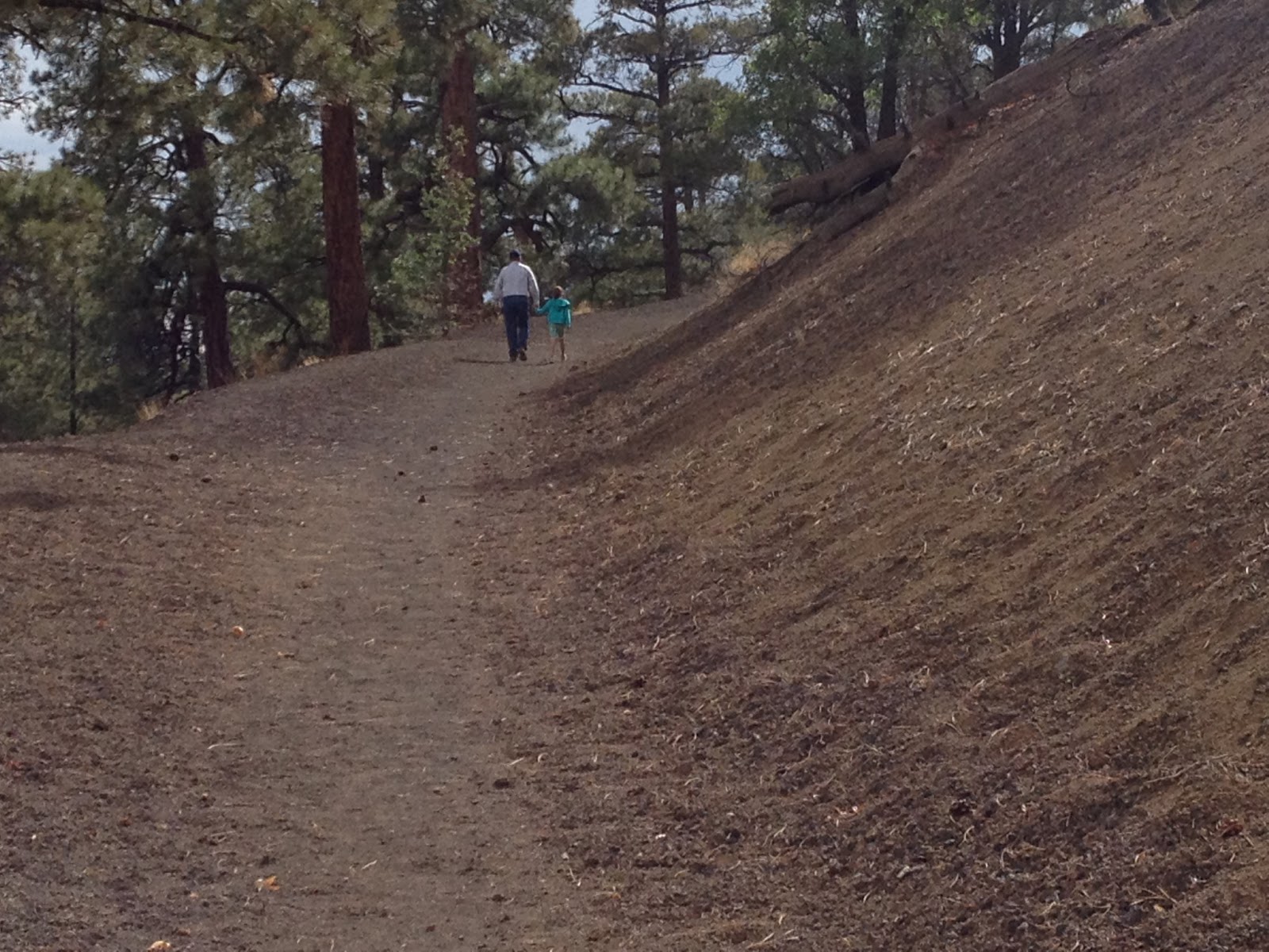
To get there, you walk through an ancient lava trail. We got to the ice cave and walked down 77 stairs. Around stair 50ish, from one step to the next, it felt like you walked in to an ice cooler. Then we you got all the way down, it felt like you were in the ice cooler for 30 minutes or so, it was shockingly cold. The ice cave is part of a collapsed lava tube.
It was pretty awesome to go from one contrast to the other. We are really glad we were able to do it and the kids loved it.
The following is from the Ice Cave and Bandera Volcano web site http://www.icecaves.com/faq.html.
The Ice Cave
The temperature in this cave never gets above 31 Degrees F. As rain water and snow melt seep into the cave, the ice floor thickens. The floor of the ice is approximately 20 feet thick. Depending on summer rainfall, the cave floor may accumulate water until the prevailing temperatures drop well below 30 Degrees F. At this time, usually during December or January, the water from summer rainfall will freeze adding new layers of ice to the floor. The deepest ice is the oldest and dates back to 1100 BP. The green tint is caused by an Arctic algae. The back wall was formed in the early days when ancient Indians and early settlers mined the ice. In 1946, ice removal was stopped at which time the ice wall was nearly 12 feet high. Since then, the ice floor has risen relative to the back wall. The rate of ice accumulation varies with annual precipitation. The cause of original formation of ice back in 170 AD is uncertain. However, its perpetuation is due to a combination of existing conditions that make a natural ice box: 20 feet of ice in a well insulated cave shaped to trap frigid air. The Ice Cave was known to the Pueblo Indians as the Winter Lake.
Bandera Volcano
Bandera Crater is the largest volcanic cinder cone in the region. It erupted around 10,000 years ago. There were two stages of the eruption: first the cinder cone developed, then a massive lava flow broke out this side. The molten lava reaches temperatures above 2000 degrees Fahrenheit. Bandera's lava flow is nearly 23 miles long. At the end of the eruption, the lava suddenly fell back down the main vent making the bottom of the cone deeper than the outside lava flow. This crater is nearly 1200 feet wide at the top and roughly 750 deep. The elevation at the look out point is 8122. The elevation at the rim is 8372. Over time, erosion and gravity take their toll on the crater and it is slowly filling up as cinders and rocks fall down into it. This makes for a very fragile environment. In the picture above, Mt. Taylor can be seen in the distance behind Bandera.